
Business Details
49 Years
experience
Expert Surveying & Civil Engineering Services in Houston
Established in 1977, our firm has built a reputation for excellence in land surveying and civil engineering. Our team combines decades of experience with cutting-edge technology to deliver precise and reliable solutions for complex projects. Led by Andrew Lonnie Sikes, a licensed professional engineer and land surveyor, we prioritize accuracy, safety, and client satisfaction. Our expertise spans aerial mapping, hydrographic surveying, and geographic information systems, serving clients across Houston and adjoining counties.With a family legacy of engineering excellence, we provide tailored services for commercial, industrial, and institutional developments. Our commitment to quality is reflected in long-term client relationships and adherence to rigorous safety and compliance standards. We specialize in minimizing project risks through meticulous front-end planning, ensuring efficient permitting and construction outcomes.
Services
Civil Engineering
Land Surveying
Hydrographic Surveying
Aerial Mapping
Ortho Imaging
GIS Services
Boundary Surveys
Drainage Design
Subdivision Platting
Utilities Planning
Details
- Year established: 1977
Highlights and features
- We offer 45+ years of combined experience in land surveying and civil engineering.
- Our team holds professional licenses in engineering and land surveying (PE, RPLS).
- We utilize advanced technologies like GPS, aerial mapping, and GIS integration.
- Our family-run business maintains rigorous safety and compliance standards.
- We provide tailored solutions for complex boundary, drainage, and infrastructure challenges.
Services
Civil Engineering
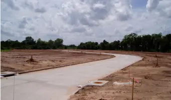
Our civil engineering team specializes in site development, infrastructure design, and regulatory compliance for municipal and private projects. We provide drainage solutions, subdivision plats, and utilities planning, ensuring alignment with local permitting requirements. With decades of experience, we deliver cost-effective designs that minimize construction risks and delays.
Land Surveying
We conduct precise land title and boundary surveys to resolve disputes and support property transactions. Our services include topographic mapping, right-of-way analysis, and expert legal testimony on land ownership issues. Advanced GPS technology ensures accuracy for both small-scale and large industrial projects.
Hydrographic Surveying
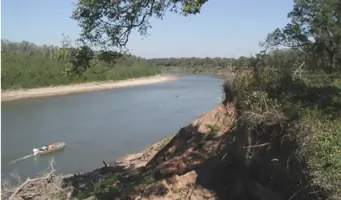
Specializing in underwater mapping, we assess riverbeds, ponds, and floodplains to support dredging and flood control projects. Using specialized vessels and sonar technology, we generate detailed volume calculations and flowline data for water management initiatives in Texas waterways.
Aerial Mapping
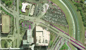
Our aerial mapping division creates high-resolution topographic maps using stereo photography and GPS data. This technology supports highway planning, land development, and environmental assessments with scalable outputs ranging from 1:30 to 1:1000 scales.
Ortho Imaging
We produce geometrically corrected ortho images for engineering and GIS applications. By eliminating distortions through digital terrain models, our team provides accurate base maps for infrastructure planning and land management across Harris County and surrounding areas.
People
Andrew Lonnie Sikes
President
A licensed professional engineer and land surveyor with 50+ years of experience, Mr. Sikes founded the company in 1977. He served on the Texas Board of Professional Surveyors and the NCEES, contributing to national licensing standards. He remains active in client relations and technical oversight.
A. Lonnie Sikes II
Civil Engineering Division Manager
With 20 years of experience, Mr. Sikes II leads the civil engineering team. He specializes in municipal infrastructure design and regulatory compliance, managing projects for Houston-area clients including drainage systems and subdivision developments.
Benoit Blouin
Aerial Mapping Division Manager
A registered professional land surveyor, Mr. Blouin has directed the aerial mapping division since 1992. He oversees large-scale ortho imaging projects for the Texas Department of Transportation and Harris County flood control initiatives.
Questions
What surveying services do you offer for land development projects?
We provide boundary surveys, topographic mapping, and subdivision plats to support residential, commercial, and industrial developments.
Do you handle complex boundary disputes?
Yes, our team specializes in resolving title conflicts and provides expert legal testimony for boundary issues.
What civil engineering services are available?
We offer drainage design, utilities planning, and infrastructure engineering for municipal and private clients.
Can you perform hydrographic surveys for flood control projects?
Yes, we conduct bathymetric mapping of rivers and bayous to support floodplain management and dredging operations.
Do you provide aerial mapping services for large-scale projects?
Our aerial mapping division creates detailed topographic maps using stereo imaging technology for transportation and land development.
What geographic information systems (GIS) services are available?
We integrate mapping data with database technology to support infrastructure planning and environmental management projects.